
Pictures & map
This page is created for those who like to see our pictures and/or want to know where we’ve been/are now. You’ll find a (interactive) ‘MAP OF THE WORLD’ with all the places where we’ve been so far (on this journey). And as some people prefer pictures to text (or don’t understand Dutch 😉 ), we’ve made the section ‘PICTURES’ below. Every photo represents a country/city/region where we were and were you’ll find the link to a gallery of that specific country/city/region. Enjoy!
OUR PICTURES
Just click on one of the icons below and you will be redirected to the photo set of that specific country/region/city. Within Flickr you can browse as much as you want to. Have fun!
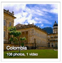
COLOMBIA
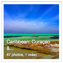
CARRIBEAN
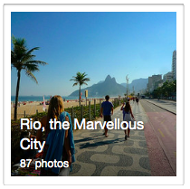
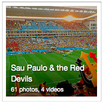
BRAZIL
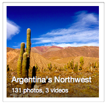
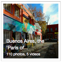
ARGENTINA

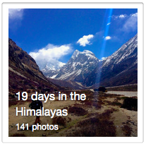
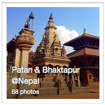
NEPAL

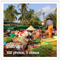
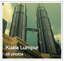
VIETNAM

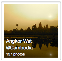
CAMBODIA


![]()
![]()
![]()
![]()
![]()
![]()

![]()
![]()
![]()
![]()
![]()
![]()
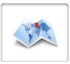
OUR MAP
Every blue dot represents a place or region that we visited and the figure corresponds to the number of pictures you can see. If you click on the map you’ll get a link to an interactive map of Flickr. Useful if you would like to know where we are right now.


Ooooh wat een fantastische ervaring die jullie beleven! Geniet er met volle teugen van, wij genieten een beetje mee bij het zien van al die foto’s